MyPhysical World
Maps and Books by Cartographer, Christopher DeYoe


")

")
")
")

")
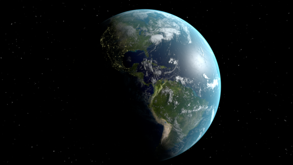
In the world of Digital, why a static map?
Due to this technological advanced world, maps as art are rare commodities. Christopher DeYoe strives to produce maps the way they should be, with the ability to be printed and adorn homes, offices, and places of gathering. "People need to have the option of printing them at any size they want or to have them digitally for On-the-Go reference". Sometimes things happen that a map becomes damaged, so having your map in digital format allows you to reprint it and not have to purchase a new one.
About Us

Christopher has been a cartographer for over 30 years. He is a pioneer in Geographic Information Systems (GIS). He has developed maps for multiple local governments and private industry. His computer mapping applications have been used in the emergency response, real estate, transportation industry.
He performs satellite imagery analysis of Earth Observation data from platforms such as Landsat and Sentinel. This assists in the understanding of human's physical environment.
Archaeological Cartography is now his primary focus and looks to produced not only informative historical maps but maps that add environment to a space.
Christopher is also an educator as he is an online content provider of cartography tutorials and a college professor.